IFC Completes Statewide Floodplain Maps
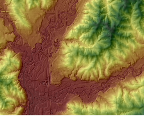
The Iowa Flood Center (IFC) recently celebrated the completion of a six-year project to develop updated floodplain maps for the 85 Iowa counties that were declared Presidential Disaster Areas after the 2008 Iowa floods.

Water-quality Project Underway in Buchanan County
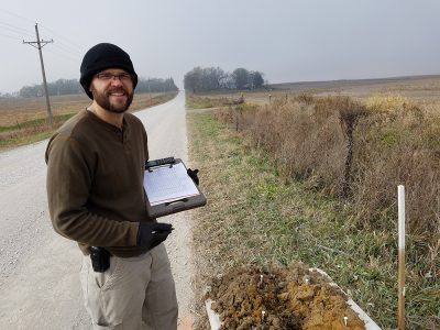
A new project funded by the Iowa Nutrient Research Center aims to understand the nutrient reduction benefits of roadside ditches.

IIHR Models Sewer System for St. Louis
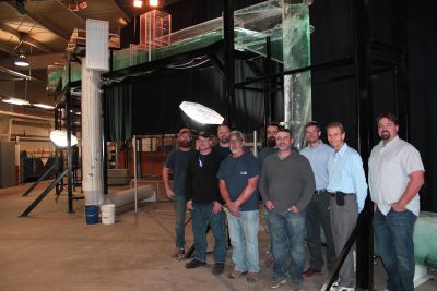
Researchers at IIHR—Hydroscience & Engineering are among the world’s leaders when it comes to modeling and design of sewer and stormwater conveyance systems.

Solving Urban Runoff Water-Quality Problems
IIHR, and the Cedar Rapids Public Works department installed real-time water-quality sensors on a stormwater outfall on McLoud Run

