Posts

IFC Completes Statewide Floodplain Maps
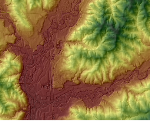
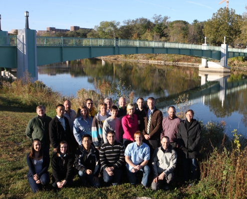
The Iowa Flood Center (IFC) recently celebrated the completion of a six-year project to develop updated floodplain maps for the 85 Iowa counties that were declared Presidential Disaster Areas after the 2008 Iowa floods.

Exploring Unseen Iowa City
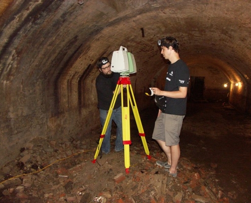
Beneath downtown Iowa City’s Brewery Square lies a network of man-made tunnels and caves that dates from the city’s earliest days
 https://www.iihr.uiowa.edu/wp-content/uploads/2020/06/Floodplain-Mapping-Group.jpg
725
1000
Alec Kozakowski
https://www.iihr.uiowa.edu/wp-content/uploads/2023/02/IIHR—Hydroscience-and-Engineering-LockupStacked-RGB-300x183.jpg
Alec Kozakowski2012-01-19 01:45:412021-12-06 16:10:16Iowa Floodplain Mapping Project
